
AoA: estimate bearing from an antenna array
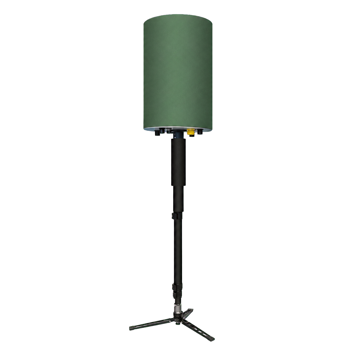
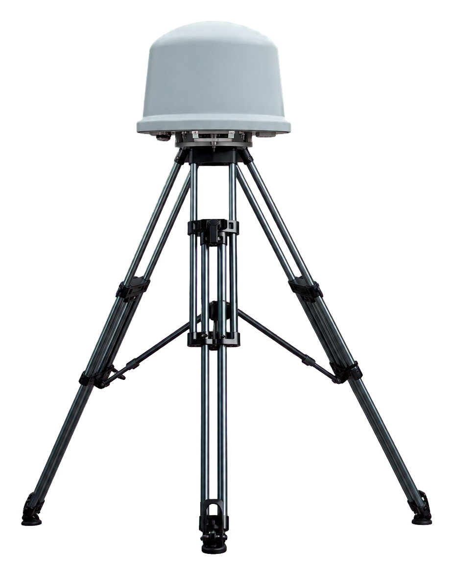
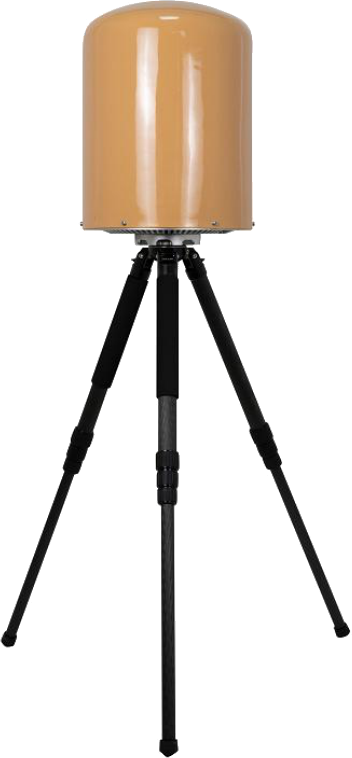
Angle of Arrival uses phase, delay or amplitude relationships across antenna channels to estimate an incoming bearing. One station can produce a line of bearing; two or more stations can intersect bearings to estimate position.
Array calibration, site attitude, installation effects, multipath and low SNR drive error. In dense built environments, the strongest path may not be the direct path, so a stable angle is not necessarily a correct angle.
TDOA: convert arrival-time differences into hyperbolas
TDOA compares the arrival time of the same signal at multiple receivers. Each station pair defines a hyperbola of possible positions, and several differences are solved jointly. The transmit time need not be known, but receiver clocks must be accurate, stable and traceable.
Wideband, structured and high-SNR signals produce sharper correlation peaks. Narrowband emissions, incomplete hops and severe multipath can make delay estimates ambiguous or biased.
Geometry controls error amplification
Identical sensor errors can produce very different location errors under different layouts. Performance is usually stronger inside a well-shaped sensor polygon and weaker when stations are nearly collinear, baselines are short or the target is far outside the network.
- Design baselines around priority directions and the protected boundary.
- Survey station coordinates, altitude, attitude and antenna phase centres.
- Test inside, at the edge and outside the network geometry.
- Display confidence regions or error ellipses rather than an unexplained point.
Why hybrid positioning helps
AoA constrains direction; TDOA constrains delay; protocol decoding or Remote ID may add reported coordinates. Fusion should weight evidence by uncertainty, age and anomaly status rather than taking a simple average. The system should degrade gracefully when a station fails and disclose the active positioning mode.
References and further reading
This article is an original engineering synthesis based on the following standards, official material and primary research. External sources are provided for verification and further study.